Site Overview
65.65 available acres
Transportation Access:
- Four-lane highway
- Air (within 20 miles)
Bondurant’s Myers Industrial Site is comprised of 65.65 acres consisting of flat, previously used ag land now zoned as light industrial and is located east of Hubbell Ave and South of NE 78th Ave. This certified site will be just east of the soon-to-be Civic Campus near Highway 65 (Hubbell Ave) and Interstate 80. Myers 1 is within 7 miles of the Ankeny Regional Airport and within 20 miles of the Des Moines International Airport. Electric and natural gas would be through MidAmerican Energy Company, and water/wastewater would be through the City of Bondurant/Des Moines Water.

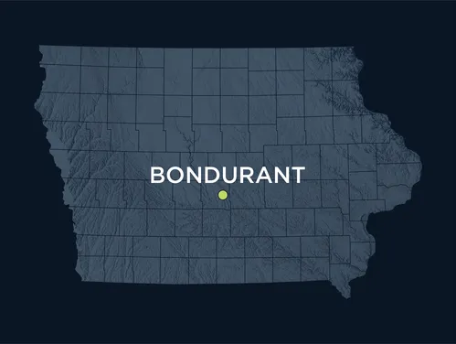
About Bondurant
The City of Bondurant provides a welcoming business environment and is proactive in setting the stage for industrial and commercial development. The City has been extremely active in site certification over the past six years, bringing two sites to full certification, facilitating two additional sites that were developed mid-certification process, and actively working on four additional sites. Bondurant is home to a full range of businesses, from those who were established and have grown here to global corporations who have chosen to invest in the community.
City priorities focus on continually improving city services and promoting viable opportunities to meet the needs of a growing community while preserving a hometown charm. Recently, the City transformed Eagle Park, building a creek access point, soft trails, and restoring natural habitat areas as part of the ICON Water Trails and Greenway Plan. The City also recently enhanced pedestrian safety with a major underpass project and a continuation of the Gay Lea Wilson Trail. The future holds a regional park development that will anchor a mixed-use area primed for commerce.
Resources
- Bondurant Myers Industrial Site Master Development Plan
- Bondurant Myers Industrial Site General Location Map
- Bondurant Myers Industrial Site Transportation Network Map
- Bondurant Myers Industrial Site Aerial Photograph
- Bondurant Myers Industrial Site USGS Quadrangle Map
- Bondurant Myers Industrial Site Zoning Map
- Bondurant Myers Industrial Site FEMA Floodplain Map
- Bondurant Myers Industrial Site Tax Parcel Map
More Information
Areas Served
- Polk